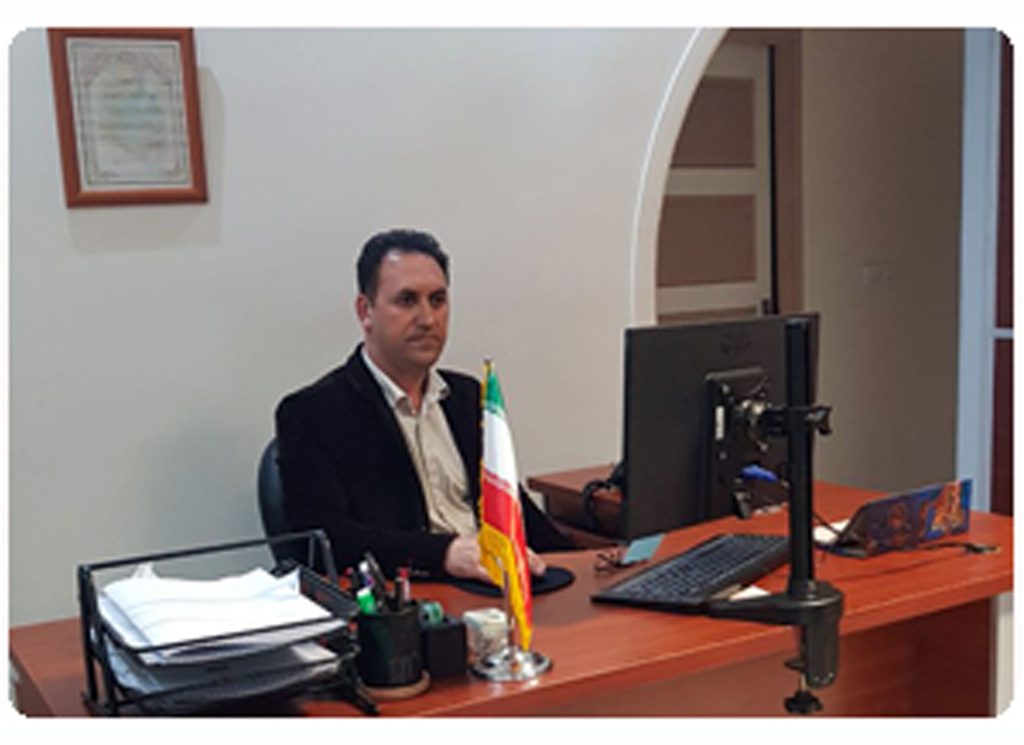
First Name and Last Name: Reza Amiri Organizational position Director of mapping and GIS department Expertise: Bachelor of Mapping Technology History of the year: 2001 Email: amiri.2761@gmail.com Direct Phone: +9821-44125997
This department consists of 4 groups with the following job descriptions:
Land mapping group
Duties
Supervision, research and design of digital mapping services and coordinates Coordination and dispatch of mapping teams for requested projects Preparation of topographic maps including regional and urban (block) Preparation of registration maps (cadastre) of agricultural, urban and industrial lands Mapping and implementation of road and power transmission lines Preparation of longitudinal and cross sections of road, river and power transmission lines Accurate location using GPS and map preparation Estimating the volume of earthworks (CUT & Fill) Mapping of historical sites of cultural heritage and tourism organization
Hydrographic group
Duties
Preparation of the seabed map with a small boat and Ecosander Preparation of hydrographic map of rivers, natural lakes and reservoirs of dams (calculation of surface and volume)
Photogrammetry group
Duties
Preparation of maps from aerial photographs and urban areas Preparation of large-scale and medium-scale maps by converting aerial photos into maps using analytical and digital devices. Revising and updating old maps
GIS and RS group
Duties
Consulting, supervision and research on spatial information system services and analysis and processing of satellite images Feasibility and creation of geographic information system (GIS) sites and interpretation of satellite information Production of various types of databases under different systems of preparing cadastral maps by processing satellite images Preparation of land use maps and land data based on the analysis of satellite images Preparation of medium-scale topography and land use maps using satellite images to study and investigate land cover, temporal changes, urban applications, etc.